Some recent remote sensing techniques, in particular laser scanning (LiDAR) and radar interferometry, have strongly improved the capability to characterize and monitor surface processes, and even to reveal some unexpected phenomena. These techniques are used in the field and in the lab for geological and geohazard investigations, in combination with very high-resolution imaging, structure from motion photogrammetry and thermal imaging. For the last years terrestrial laser scanning.
Remote sensing
Application of remote sensing in our research
Andorra-la-Vella : Lidar monitoring

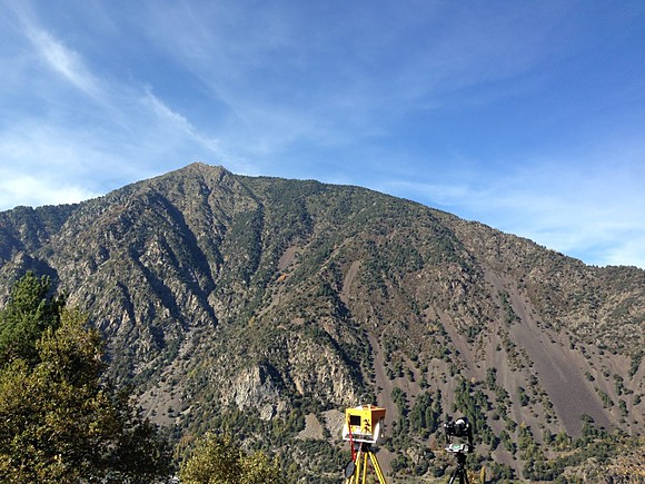
The Risk Analysis Group (C. d’Almeida, F.Noël) spent a week in the principality of Andorra to carry out lidar survey. The city of Andorra-la-Vella, located in the hearth of the Pyrenees is a very dense city surrounded by landslides and active cliffs.
Battista Matasci: Rockfall susceptibility assessment and remote geological mapping with LiDAR point clouds

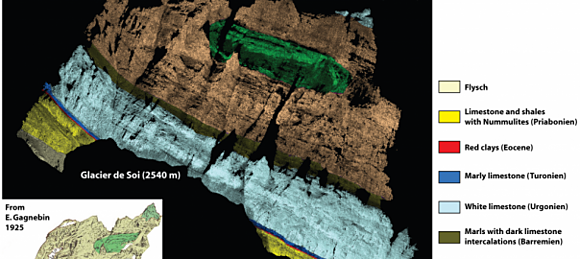
3D geological models have a great potential of being applied to a wide range of geological investigations both in research and applied geology projects, such as mines, tunnels and reservoirs. Recent development of ground-based remote sensing techniques (LiDAR, photogrammetry and multispectral / hyperspectral images) are revolutionizing the acquisition of morphological and geological information.
The integration of these results, on rockmass fracturing and composition, with existing methods can improve rockfall hazard assessments and enhance the interpretation of the evolution of steep rockslopes.
For more examples of the application of remote sensing method to our research, please check the Tag Archives: LiDAR on our Risk Analysis Group webpage.
